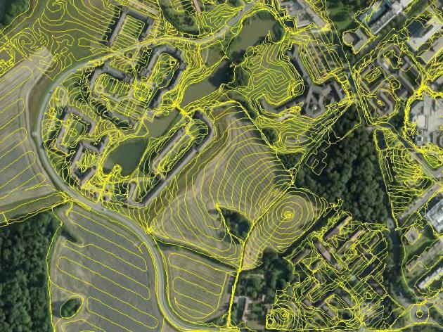
"'And then came the grandest idea of all! We actually made a map of the country, on the scale of a mile to the mile!' 'Have you used it much?' I enquired. 'It has never been spread out, yet,' said Mein Herr. 'The farmers objected: they said it would cover the whole country, and shut out the sunlight! So we now use the country itself, as its own map, and I assure you it does nearly as well.'"